MH370 search: Fugro Equator and Zhu Kezhen vessels assembling bathymetric map
The hunt for the missing Malaysia Airlines jet MH370 has entered the next phase.
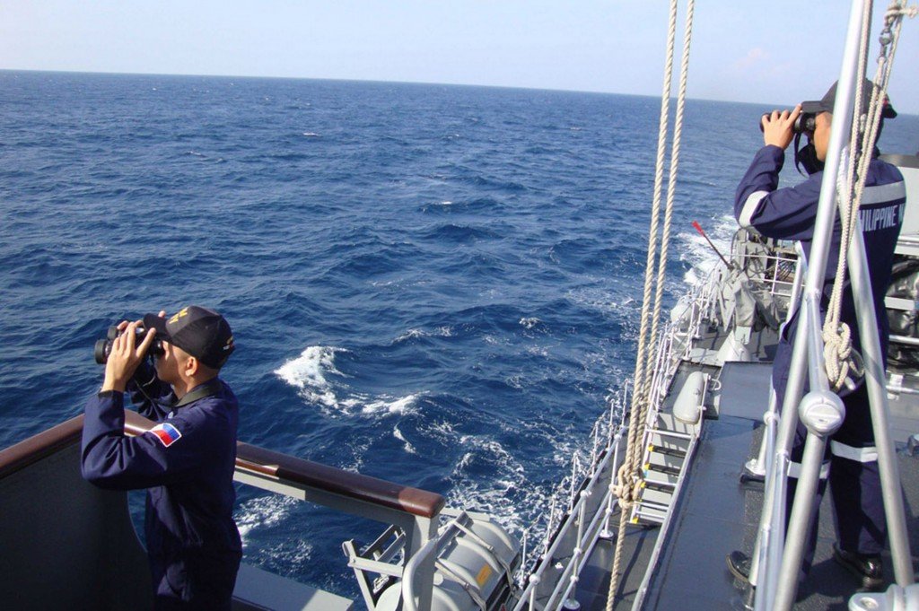
Two vessels – the Fugro Equator and the Zhu Kezhen – are currently mapping an area covering 60,000 sq km.
Detailed information being gathered about the shape of the ocean floor west of Australia confirms the seabed in some locations to be extremely rugged.
This survey will guide a metre-by-metre search using towed instruments and submersibles.
This is likely to get under way towards the end of September.
The Australian authorities have warned that this could take a year to complete.
The Dutch-owned Fugro Equator and the Chinese naval vessel Zhu Kezhen are presently assembling a bathymetric (depth) map.
It covers the general location in the southern Indian Ocean where investigators believe MH370 is most likely to have come down.
The map is akin to a broad canvas – a first-ever proper look at a terrain about which there is the slimmest of knowledge.
It is essential work. Without this map, which has a resolution of roughly 25m in the deepest depths, it would not be safe to put down submersibles, as there is a high risk these vehicles would be lost.
The Fugro Equator is equipped with a state-of-the-art multibeam echosounder.
Malaysia Airlines flight MH370 was lost on March 8, 2014, as it flew from Kuala Lumpur to Beijing, carrying 239 people
The vast majority of the area it is covering has never been sampled before.
It has recorded depths near to 6,000m. Even the shallow regions are more than 1,000m down.
But it is the craggy nature of the seabed that will prompt extreme caution to be exercised in the next phase of operations.
Fugro has been contracted by the Australian Transport Safety Bureau to conduct this part of the search as well.
It will involve the Equator and another ship, the Fugro Discovery. Both ships will pull a deep-tow instrument very close to the sea floor using a 10,000m armored fiber-optic cable.
Echosounders are its ears; cameras represent its eyes; and a chemical sensor works like a nose.
This nose will “sniff” for the presence of any jet fuel in the water, down to a few parts per billion in concentration.
Assembling the bathymetric map has been a tough job in itself.
The Equator has had to contend with some terrible winter weather.
Malaysia Airlines flight MH370 was lost on March 8, 2014, as it flew from Kuala Lumpur to Beijing, carrying 239 people.
Its disappearance has become one the biggest mysteries in aviation history.
The best information investigators have for its whereabouts come for a series of brief satellite communications with the jet during its flight.
The last of these connections suggests MH370 crashed into the water inside the “high priority” search zone now being surveyed by the Dutch and Chinese vessels.